
Load a track.
Follow the route.
GPX track navigation for iPhone. For cycling, MTB and hiking.
iPhone · iOS 26 or later · no account
Plan anywhere.
Follow it here.
trop. doesn’t plan routes. Bring a GPX from any route planner or trail website, and trop. guides you along it.
- 1
Load a track
From Files, AirDrop or Share.
- 2
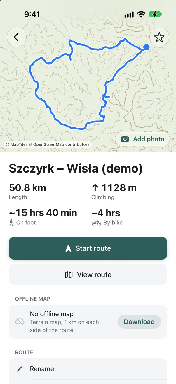
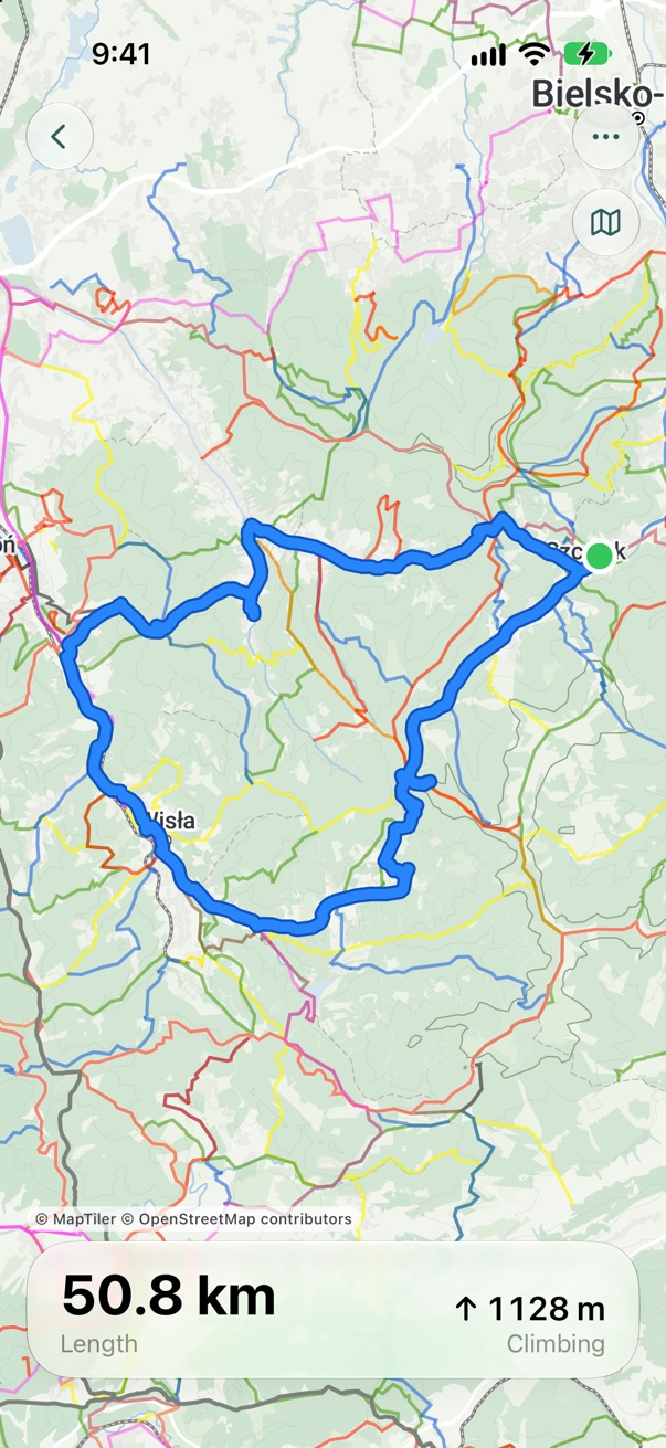
Open the route
Distance, climbing and the time on foot and by bike. Offline map in one tap.
- 3
Go
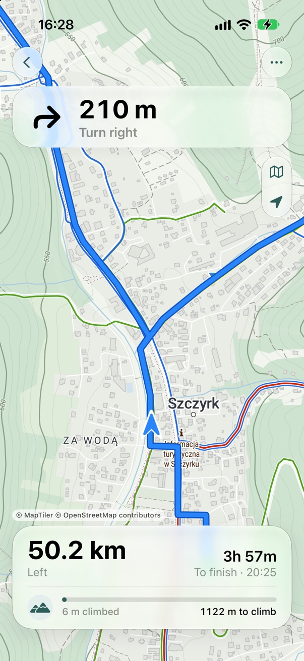
An arrow and the distance to every turn. Far from the start? It first shows the direction and distance to it.
Everything at a glance.
The next turn at the top, distance to the finish at the bottom, the map and your position in between.
- A warning and an arrow back when you leave the route
- The next turn on the Lock Screen and on Apple Watch
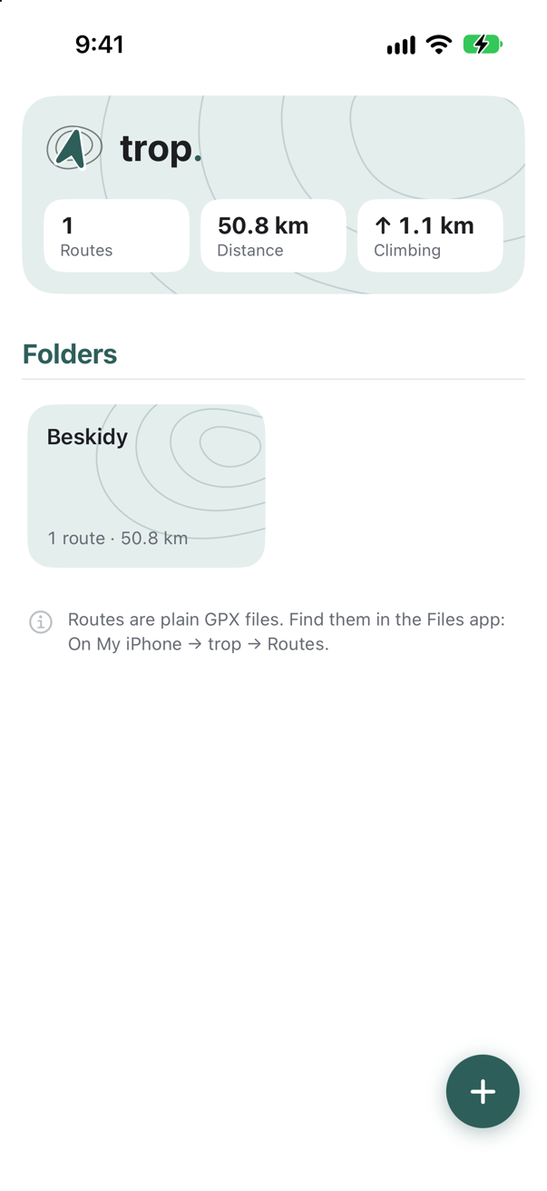
All your routes in one place.
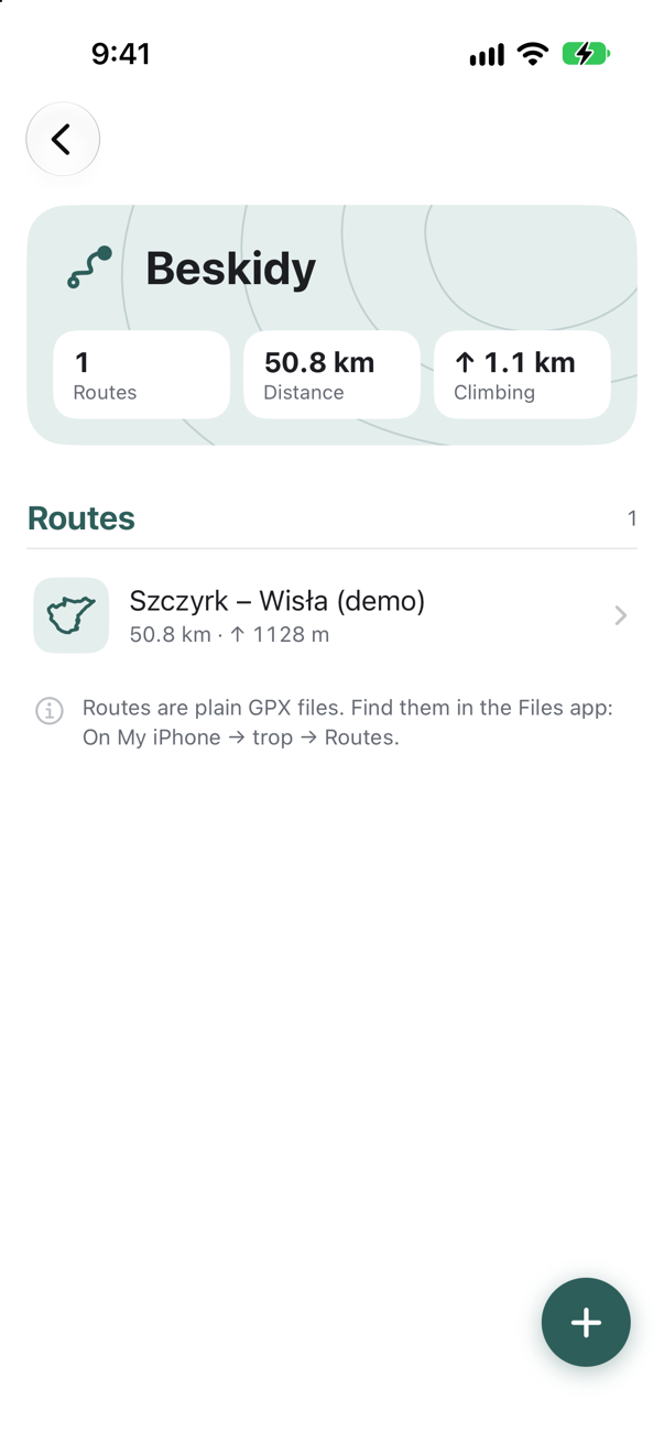
Folders and favourites, with distance and climbing for every route.
- Routes are plain GPX files in the Files app
- An offline map for every route
The right map for every route.
Terrain, satellite, topographic or cycling. Perspective or top-down view.
Terrain
Trails, contour lines and hillshade. The default map.
Satellite
Satellite imagery with road names.
Topographic
A topographic map from OpenStreetMap data.
Cycling
Cycle paths, surfaces and cycle routes.
Offline
Download the map one kilometre around the route, for the map type you use. Guides you without signal.
Loops and out-and-backs
Where the route passes the same road twice, trop. follows the way you are going.
Fix the track before you go.
Cut a dead end, fix a turn, save a new GPX. Free, and the file stays on your device.
In the browser. Easiest on a computer.

Move, add, delete
Drag points with the mouse. Every move can be undone.
Cut a dead end
Select a stretch with a box and delete it. The points on either side join up.
Snap to roads
A dragged point snaps to the nearest road or path on the map.
Trim, reverse, extend
Shorten the start or the finish, reverse the direction, draw the rest.
Simplify
Fewer points, same shape. A lighter file.
Elevation from the map
New points get their elevation from the terrain map. Climbing updates as you edit.


No account.
No tracking.
Your location stays on your phone
trop. never sends it. Map providers only see which map area is loaded.
No account, no sign-in
Install it and load a track.
No ads, no analytics
No tracking tools in the app.
Your files are yours
Plain GPX in the Files app. Take them anywhere.
Details: privacy policy.
FAQ
Where do I get a GPX track?
From any route planner or trail website. Open it in trop. with Share or from Files.
Is the GPX editor free?
Yes. The editor runs in your browser, with no account, and the file never leaves your device.
How do I start guidance?
Open a route and tap “Start route”. If you are far from the start, it first shows the direction and distance to it.
Does it work with the screen locked?
Yes. GPS keeps running, the Lock Screen shows the next turn, and you get an alert when you leave the route. With Apple Watch you also feel a tap before each turn.
Does it work offline?
Yes, if you download the route map first. Without it, the line and the turns still show.
What if I leave the route?
The banner turns red and an arrow points back to the line.
What does it run on?
iPhone with iOS 26 or later, and Apple Watch with watchOS 26 or later. iPad is planned.
Which languages?
All 24 EU languages, including English and Polish. Kilometres or miles, as set on your phone.
See you on the trail.
iPhone · iOS 26 or later